
Chasing Gold: How to Use the ‘Old Farmer’s Almanac’ Map to Plan Your Ultimate Fall Getaway
Planning an autumn road trip? The newly released 2026 interactive foliage map reveals the exact weeks to catch peak autumn colors—and how to time your getaway so you never miss the peak
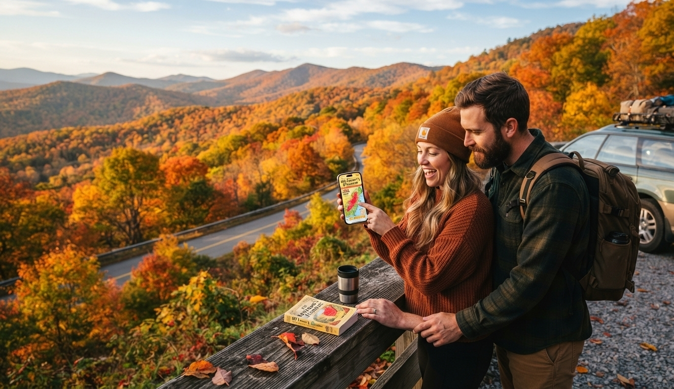
There is a moment in autumn when everything feels still. It’s a crisp, quiet morning when the air smells like wood smoke and dried leaves. You step outside to see the trees changed into bright colors of amber, crimson, and gold.
For many of us, this season is more than just a time of year—it’s a special journey.
A few years ago, I surprised my family with a last-minute road trip. I saw photos of the Blue Ridge Mountains on Instagram and thought late October would be the best time to go. We packed the car, drove for eight hours, and arrived to find… mostly bare branches. We had just missed the peak by a few days. We still enjoyed drinking cider and hiking, but I learned an important lesson: Nature doesn’t follow our plans.
If you want to see the beautiful fall foliage in America at its best, you need to plan ahead. Luckily, experts have already done the hard work for us.
The Ultimate Guide: Using the ‘Old Farmer’s Almanac’ Map
The ‘Old Farmer’s Almanac’ has released its 2026 fall foliage map. This map is a reliable tool for anyone looking to enjoy the changing colors of leaves. It shows how colors spread across the U.S., making it easier to plan your next trip.
Peak Foliage Expectations by Region
According to the Almanac, most regions are tracking right on schedule for 2026. Here is when you should start packing your camera and cozy sweaters:
-
New England: The gold standard of fall. Expect peak colors from late September through October.
-
Mid-Atlantic: Peak color typically arrives in mid- to late October, though the Adirondacks and parts of Pennsylvania can start turning as early as late September.
-
Great Lakes & Midwest: Mid-October is your prime window for those brilliant, sweeping landscapes.
-
Southern Appalachians: (TN, NC, VA) Look for the brightest displays from mid-October into early November. Keep in mind that elevation plays a huge role here—the higher you go, the earlier the leaves turn!
-
The West: While some high-altitude areas begin their transformation in September, most western states will reach their peak throughout October.
Understanding the Map Colors
If you’re looking at the interactive map, it acts like a weather report for beauty. Here’s how to understand the colors so you know the best time to travel:
-
Green: Summer is still holding on. Perfect for a quiet hike, but the “show” hasn’t started yet.
-
Yellow: The curtain is rising. The tops of the trees are beginning to shift.
-
Orange: The prelude to the main event. Most of the forest is turning, but there’s still some lush summer green left.
-
Red: The Peak. This is the “Goldilocks” zone. Trees are at their most vibrant. If you see this on the map, it’s time to go!
-
Brown: The grand finale has passed.
-
Gray: The trees are preparing for winter sleep.
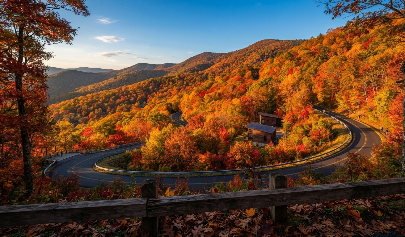
3 Tips for Capturing “Google Discover-Worthy” Photos
If you’re planning on sharing your trip, remember that the best photos aren’t just about the scenery—they’re about the light.
-
Chase the Golden Hour: The best time to see fall leaves is just after sunrise or just before sunset. The low-angle sun highlights the colors and shapes, creating more drama than the midday sun, which can make everything look flat.
-
Use a Polarizer: If you have a real camera, a circular polarizer is your best friend. It cuts the glare off wet leaves and makes those deep reds and oranges pop against the blue sky.
-
Get Low: Most people take photos of the horizon. Instead, try getting low to the ground to capture fallen leaves in the foreground with a tall, colorful tree in the background. This technique adds great depth to your photo.
TRENDS: Keeping Your Best Friend Safe: The Truth About Dogs and Wildfire Smoke
Q: When is the best time to see fall foliage in the U.S.? A: Peak foliage changes depending on where you are and how high you are above sea level. In general, northern states like New England have their best fall colors from late September through October. In contrast, southern areas and lower elevations reach peak colors from mid-October to early November.
Q: How accurate is the Old Farmer’s Almanac foliage map? A: The map helps predict weather based on past patterns, temperature changes, and seasonal data. But local weather surprises, like an early frost or a heavy autumn storm, can change peak dates by a few days.
Q: What causes leaves to change color in the fall? A: As days grow shorter and temperatures drop, trees stop producing chlorophyll (the green pigment that helps with photosynthesis). As the green fades, other underlying pigments—such as carotenoids (yellow and orange) and anthocyanins (reds and purples)—finally become visible.
Q: How can I check real-time leaf conditions before taking a road trip? A:In addition to the interactive Almanac map, check local state tourism websites, forestry service updates, or social media tags from regional national parks for the latest leaf reports.
Pro-Tip: Before you book a hotel, check local tourism boards or the social media pages of National Parks. They provide updates on the changing foliage, so you can avoid the disappointment of seeing bare branches, like what I experienced!
Whether you’re going to the Midwest’s rolling hills or the Appalachian mountains, use the ‘Old Farmer’s Almanac‘ map to help you find your way. Autumn is short, so make sure you see it.